Mooresville, NC – A Winter Storm Warning remains in effect for the region until 7:00 AM EST on Saturday. The storm is expected to bring a mix of snow, sleet, and ice, creating hazardous conditions across western North Carolina and surrounding areas.
What to Expect:
- Snow and Ice Accumulation:
- Snow and Sleet: 1 to 3 inches.
- Ice: Up to 0.2 inches.
- Impacted Areas: Mooresville and surrounding communities in the Piedmont, along with parts of northeast Georgia and Upstate South Carolina.

Timing:
- The warning is in effect now through early Saturday morning.
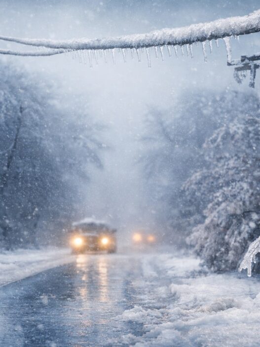
- Friday evening commute could be significantly impacted due to slippery roads and low visibility.
Potential Impacts:
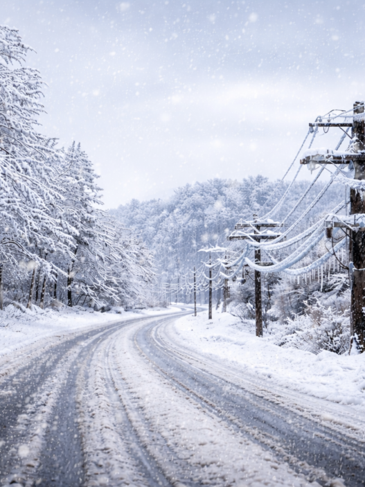
- Treacherous Roads: Snow and ice will make travel dangerous, with some roads becoming impassable.
- Power Outages: Ice accumulation on tree limbs and power lines may lead to scattered outages across the region.
Safety Tips and Preparations:
- Stay updated on the latest weather forecasts.
- Limit travel if possible. If travel is necessary:
- Drive slowly and cautiously.
- Carry an emergency kit in your vehicle, including a flashlight, food, and water.
- Prepare your home for potential power outages by having flashlights, batteries, and non-perishable food on hand.
For up-to-the-minute updates, stay tuned to Mooresville Now and your local weather channels. Stay safe, Mooresville!