The Mooresville Police Department (MPD) has launched its new Drone First Responder (DFR) program, designed to get eyes on the scene faster and enhance public safety.
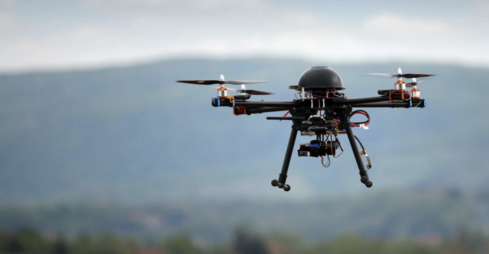
The DFR program equips MPD with six drones — three stationed at MPD Headquarters and three at One Mooresville Center — that can respond to incidents within a 3.5-mile radius at speeds of up to 55 mph. This capability provides aerial coverage and critical support before officers and first responders arrive on scene.
A trained operator, based in Mooresville Police Department headquarters, will launch and pilot the drone when the nature of a 911 call warrants it. The pilot communicates with officers on scene, or en route, to deliver real-time situational awareness.
This new technology positions MPD to respond more effectively to high-risk situations, locate missing persons and fleeing suspects, and assist investigators with traffic and crime scene documentation.
“Part of our mission is to be prepared for the future,” said Chief Ron Campurciani. “This technology allows us to be more informed situationally, so our responses can be precise and efficient, no matter the incident.”
MPD’s DFR program is the first of its kind in Iredell County and reflects the department’s commitment to innovation. It enhances the ability to respond to emergency calls by integrating with the department’s Computer-Aided Dispatch (CAD) system, which manages 911 calls, logs incident details, and coordinates response efforts. The DFR system relies on GPS coordinates from CAD, not only 911 call data, to pinpoint destinations. Radar is used to detect and avoid other aircraft during flights, ensuring safety rather than guiding navigation.
The program also promotes community transparency by automatically tracking and logging drone activity in a publicly available portal, the Mooresville Flight Dashboard. The dashboard displays up-to-the-minute data on the number of calls, average response times, and types of calls, along with visual flight plans that track each drone’s path.