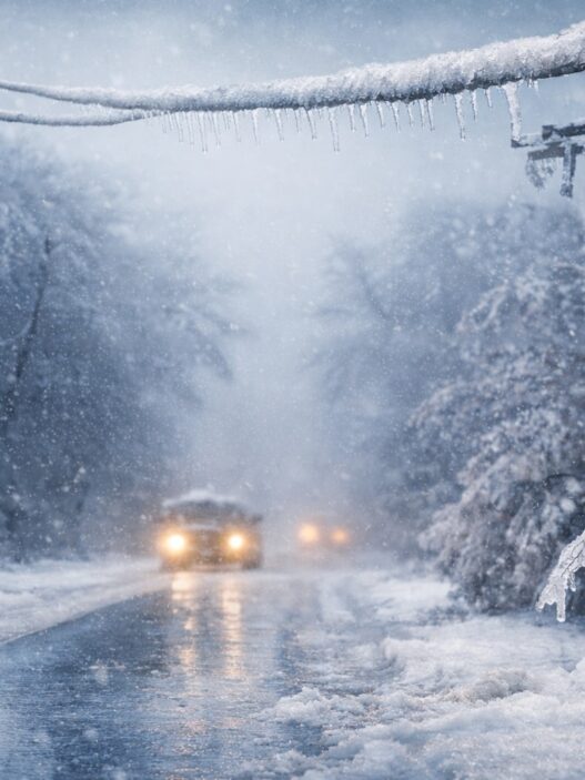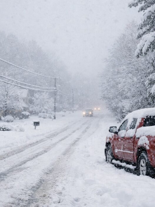
Residents across North Carolina and the Carolinas region should prepare for dangerous travel conditions and potential long-lasting power outages from Saturday through Monday.
A Winter Storm Watch remains in effect from Saturday morning through Monday afternoon, according to the National Weather Service. The storm could bring a mix of snow, sleet, and significant ice accumulation across parts of North Carolina, Georgia, and South Carolina — including areas near Mooresville.
What to Expect
Forecasters are warning of heavy mixed winter precipitation, with:
- Snow and sleet accumulations: 1 to 3 inches
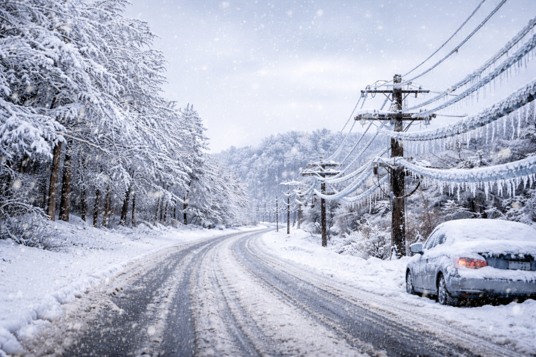
- Ice accumulation: ½ inch to 1 inch in some areas
Even small amounts of ice can lead to dangerous conditions, especially on roads and power infrastructure.
Potential Impacts
- Hazardous travel conditions
Roads may become icy, treacherous, or impassable. - Widespread power outages
Ice buildup on trees and power lines could cause outages lasting several days in some locations. - Commute disruptions
Conditions may significantly impact the Monday morning commute.
Areas of Greatest Concern
- Higher snow and sleet totals: Areas north of I-40
- Highest ice accumulation:
- Southern mountains of North Carolina
- Mountains of northeast Georgia
- Mountains of South Carolina
How to Prepare
Residents are encouraged to take the following precautions:
- Monitor weather updates as forecasts may change.
- Delay travel if possible. If travel is unavoidable, drive with extreme caution.
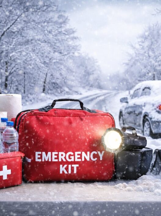
- Prepare a winter storm kit, including:
- Tire chains
- Booster cables
- Flashlight
- Shovel
- Blankets and extra clothing
- Water and a first aid kit
These supplies can be critical if you become stranded or experience extended power outages.
Mooresville Now will continue to share updates as more information becomes available. Stay safe, stay prepared, and check in on neighbors who may need assistance.
❄️ Stay Updated on the Winter Storm
For the latest updates, forecast changes, and local impacts, follow Mooresville Now on Facebook. We’ll share timely alerts and community information as conditions evolve.