Residents urged to avoid travel and prepare for potential power outages
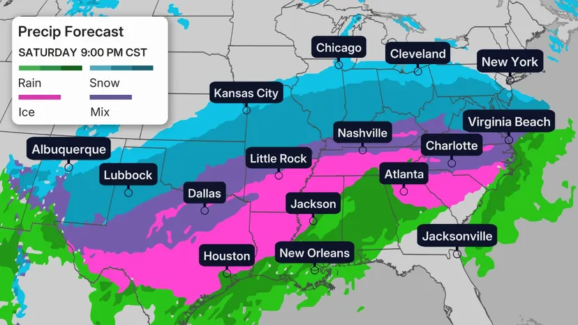
The National Weather Service has issued an Ice Storm Warning that includes Mooresville and surrounding areas near and north of Interstate 40, effective from 1 PM Saturday through 1 PM Monday.
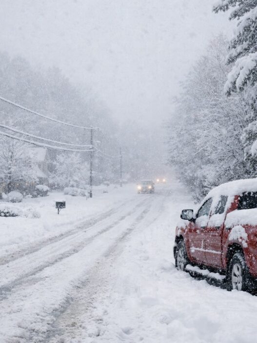
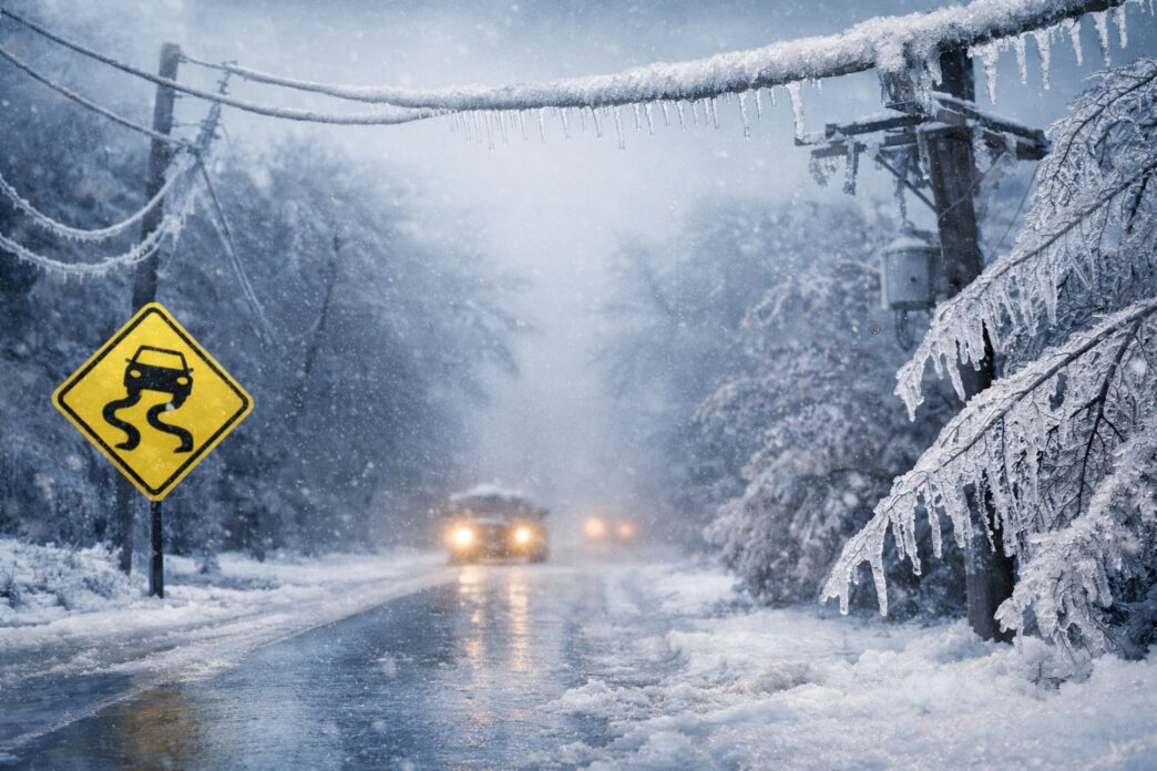
Forecasters are warning of significant icing conditions, with a dangerous mix of sleet, snow, and freezing rain expected to create hazardous travel conditions and the potential for widespread power outages.

What to Expect
- Snow & Sleet: 1 to 3 inches of accumulation
- Ice Accumulation: Between ½ inch and ¾ inch, enough to weigh down trees and power lines
- Wind Gusts: Up to 35 mph, increasing the risk of falling limbs and outages
Timing
- Saturday afternoon: Conditions begin deteriorating
- Saturday night: Rapid buildup of sleet, ice, and snow
- Sunday: Possible brief lull, followed by another round Sunday night
- Monday morning: Hazardous conditions likely to impact the commute
Potential Impacts
- Roads may become treacherous or impassable
- Power outages are likely and could last several days in some areas
- Falling trees and power lines pose additional safety risks
- Local commerce and daily routines may be severely disrupted
Safety & Preparedness Tips
- Avoid travel unless absolutely necessary
- If travel is unavoidable, keep food, water, and a flashlight in your vehicle
- Prepare for extended power outages by charging devices and having backup heat sources ready
- Stay clear of downed power lines and tree limbs
For the latest road conditions across North Carolina, residents can dial 511.
Stay with Mooresville Now for continued updates as this winter storm develops.